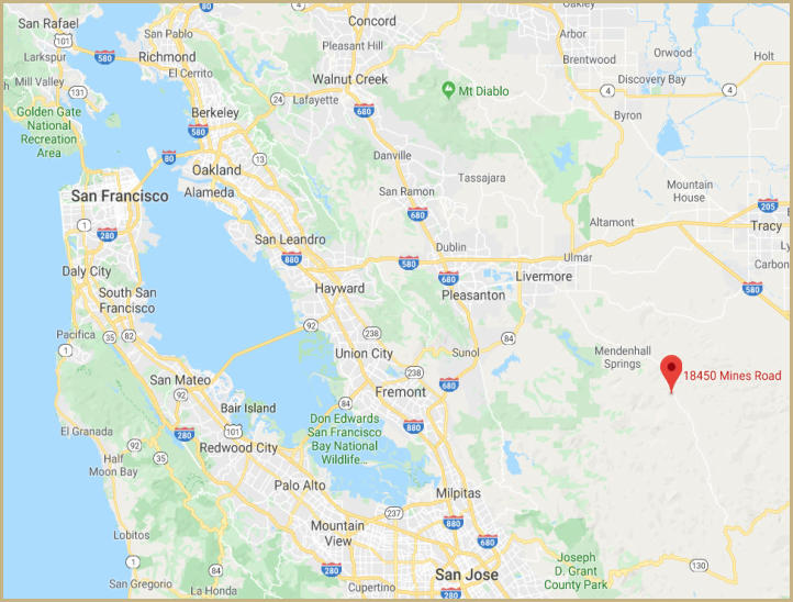
Los Mochos is located about 18 miles south of Livermore in Alameda County on Mines Road at mile marker 14.95. .
Approximate distances and travel times to Rancho Los Mochos:
San Leandro, CA to Los Mochos - 42 miles, 1.5 hours
Sacramento, CA to Los Mochos - 104 miles, 2.0 hours
Eureka, CA to Los Mochos - 325 miles, 5.5 hours
Fresno, CA to Los Mochos - 160 miles, 2.5 hours
Los Angeles to Los Mochos - 336 miles, 5.5 hours
Alpha Centauri to Los Mochos - 4.37 light years
Directions & Weather

Click on map for
Google directions
to Rancho Los Mochos
Copyright ©, All Rights Reserved
Los Mochos is located approximately 50 miles from the Pacific Ocean and during the summer months the temperature has been known to reach
into the high 90’s and low 100’s and during the winter into the low 30’s.
Los Mochos Geo Statistics:
1
.
Country: United States
2
.
State: California
3
.
County: Alameda
4
.
City: Livermore
5
.
Zip Code: 94550
6
.
Longitude at Flag Pole: 121.342329 W
7
.
Latitude at Flag Pole: 37.323401 N
8
.
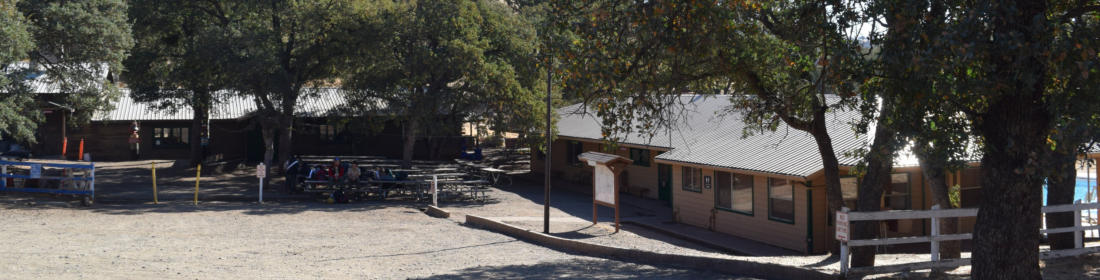
Elevation at Dining Hall: 2411 feet
9
.
Highest point-Ridgeline: 3244 feet
1
0
.
Timezone: Pacific Time
1
1
.
Topographical: Cedar Mountain Quadrangle
1
2
.
Total Acreage of Camp: Appr 686
1
3
.
Average Precipitation: 36.17 inches
Weather in Livermore